
The ocean has been patient, expanding slowly and absorbing carbon for decades while the people living on the coast went about their business. What is arriving now is not cinematic in the disaster movie sense. It is a steady accumulation of high tides reaching a little further every year, flooding streets that never flooded before and stressing infrastructure built for a sea level that no longer exists.
The cities here share low elevation and dense development, and most of them have a complicated relationship with the mathematical reality of what that combination means going forward.
15. Mobile, Alabama
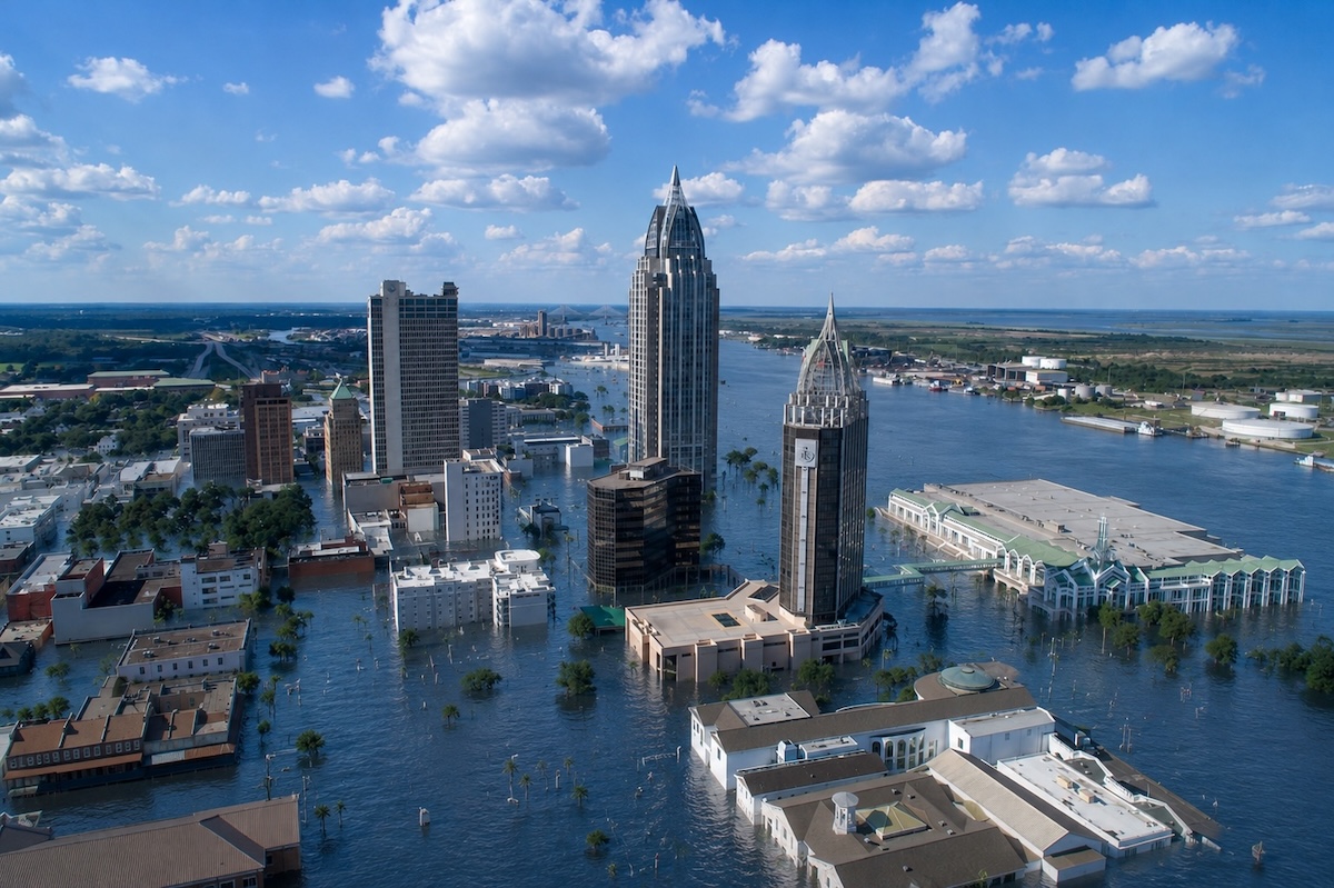
At the top of Mobile Bay, the geography does the storm surge calculation for you. The bay is shallow and narrow enough to funnel Gulf of Mexico surge directly into the city during major hurricane events, and Mobile’s elevation gives that water very little to work against.
Hurricane Katrina sent surge reaching 25 feet through parts of coastal Mobile County in 2005, a preview the city has taken seriously in some respects and less so in others. The port of Mobile is one of the largest on the Gulf Coast, adding economic stakes to the geographic ones. Flood insurance claims have been rising alongside the tides for years.
14. Wilmington, North Carolina
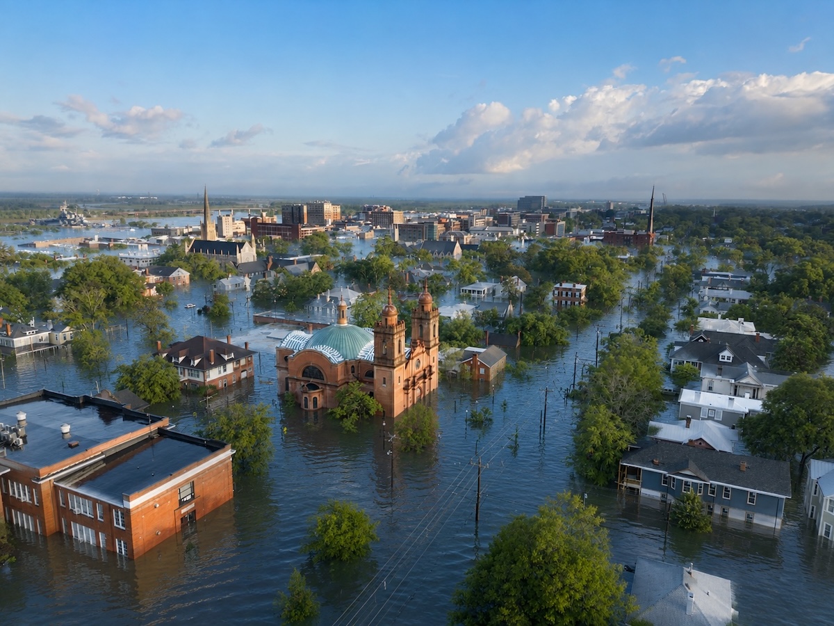
Where the Cape Fear River meets the Atlantic, Wilmington sits on a narrow peninsula with ocean and river flood risk pressing in from both sides at once. Hurricane Florence in 2018 dropped nearly 36 inches of rain on the region, flooding neighborhoods that had never experienced anything comparable and leaving the city underwater for days.
The Cape Fear River takes significant time to drain after major events, extending flood duration well past the storm itself. Development along the river and the coast has continued regardless, a kind of optimism you need to applaud.
13. St. Petersburg, Florida
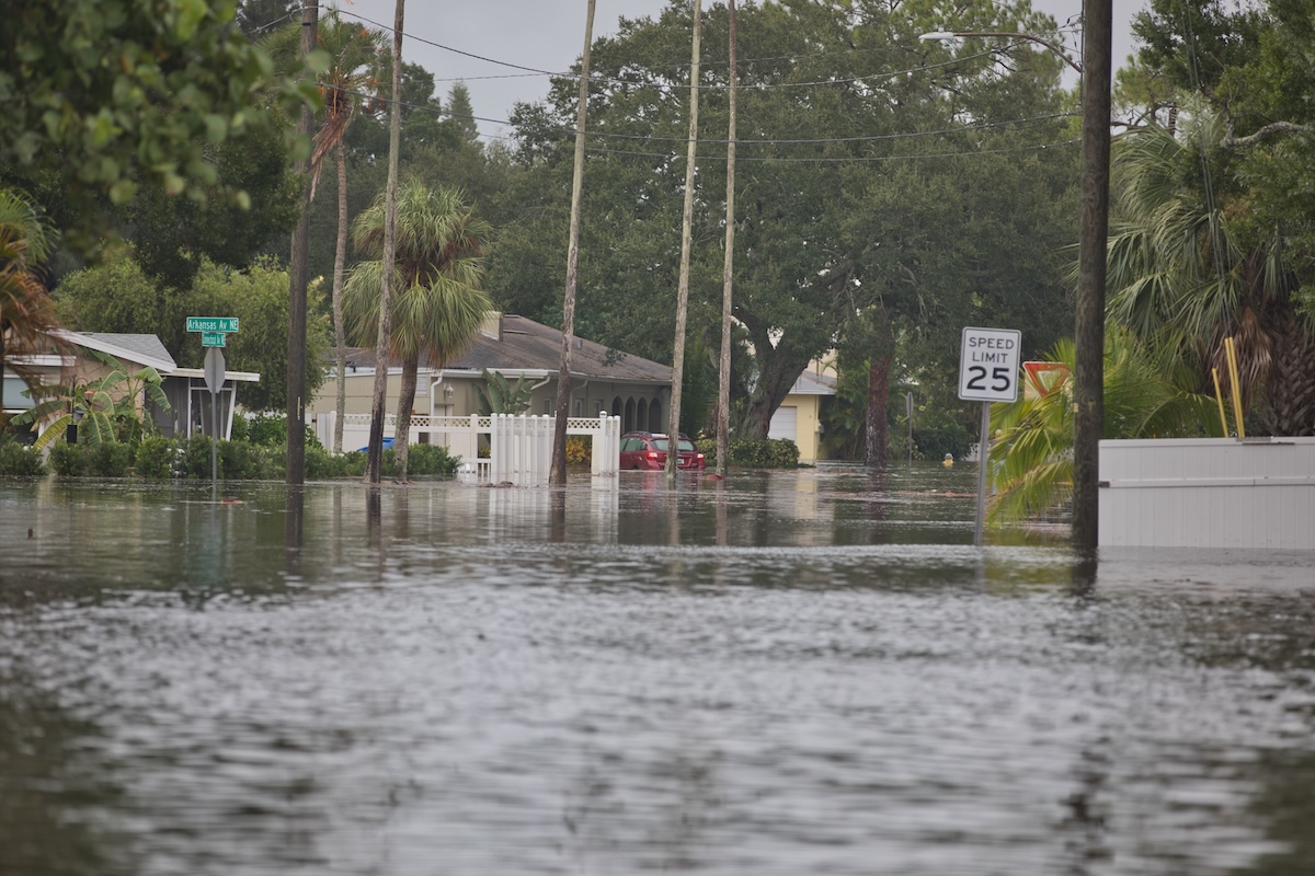
St. Petersburg sits on a peninsula with open water on almost every side, between Tampa Bay and the Gulf of Mexico. The waterfront neighborhoods where most of the city’s character concentrates sit at elevations that storm surge can cover without much effort.
Hurricane Helene in 2024 demonstrated what a significant event does to this part of the bay, and the city is still processing the results. Resilience planning has accelerated since Helene, but the geography, however, is not something the city gets to negotiate.
12. Galveston, Texas
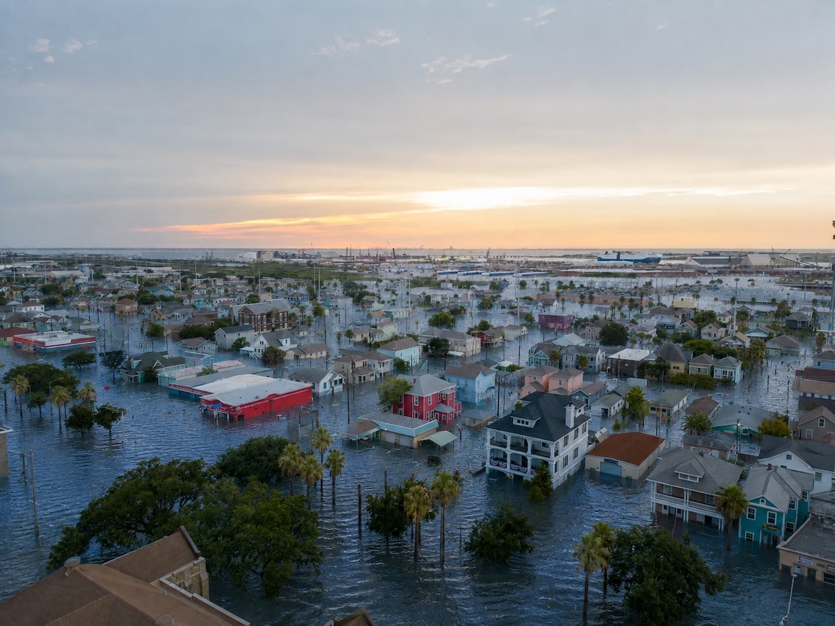
Galveston has already had its catastrophe. The 1900 hurricane leveled the city and killed an estimated 6,000 to 12,000 people in the deadliest natural disaster in American history. The response was a 17-foot seawall, which remains an impressive piece of infrastructure and an increasingly insufficient one as sea levels climb against its fixed base.
Hurricane Ike overtopped portions of that seawall in 2008 and flooded the west end of the island entirely. The city has continued to grow since, a bet the Gulf of Mexico has not been asked to confirm.
11. Baltimore, Maryland
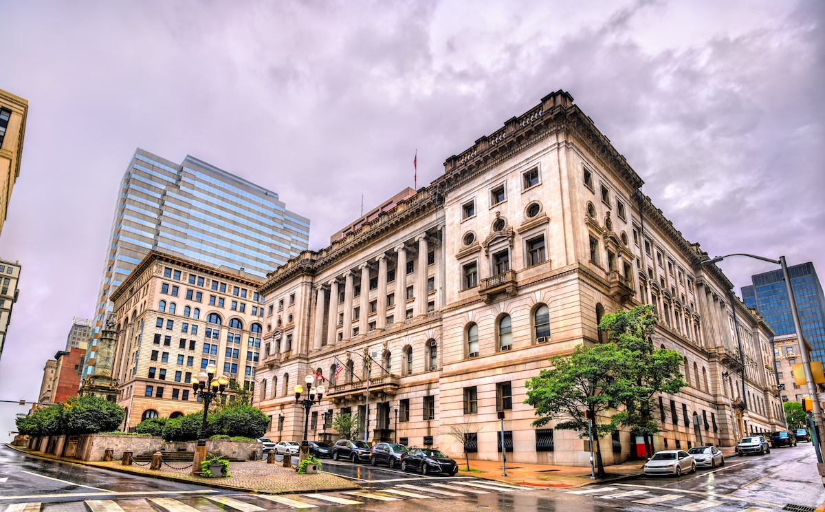
Baltimore’s vulnerability differs from most cities on this list because the Chesapeake Bay is not the ocean. It doesn’t need to be. The Bay has been rising faster than the global average due to sea level rise compounding local land subsidence, and Baltimore sits low enough along the waterfront that flooding in the Inner Harbor now happens during storms that would barely have registered a few decades ago.
The city’s stormwater infrastructure dates from eras with very different assumptions, and upgrading it sits somewhere between ambitious and impossible on the current budget. The Inner Harbor floods with increasing regularity, which the tourism industry prefers not to emphasize.
10. Tampa, Florida
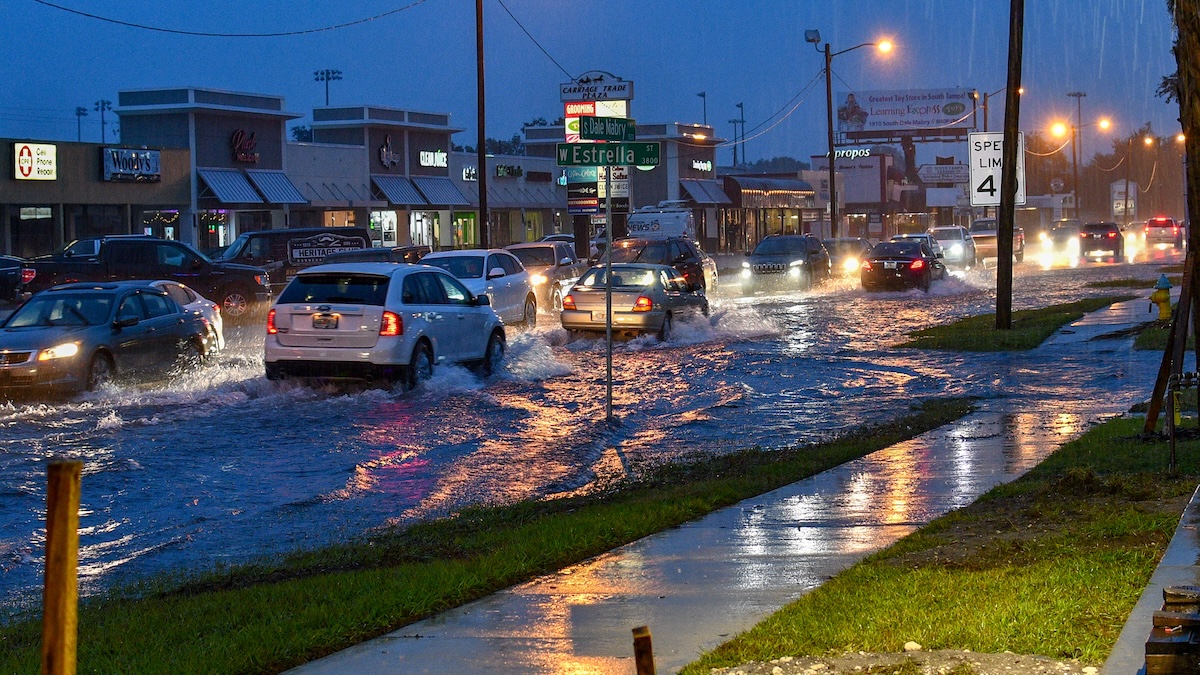
Emergency managers have been repeating Tampa’s hurricane surge vulnerability statistics for years with some frustration, given how long the city went without a direct major hurricane hit. That run ended with Hurricane Helene in 2024, which brought surge to parts of Tampa Bay that had not seen anything comparable in living memory.
Tampa Bay’s funnel shape accelerates surge from southerly storms, the same geometry that makes the water look so appealing from the downtown waterfront. The city has invested in resilience planning, but development in the surge zone has not slowed to match.
9. Atlantic City, New Jersey
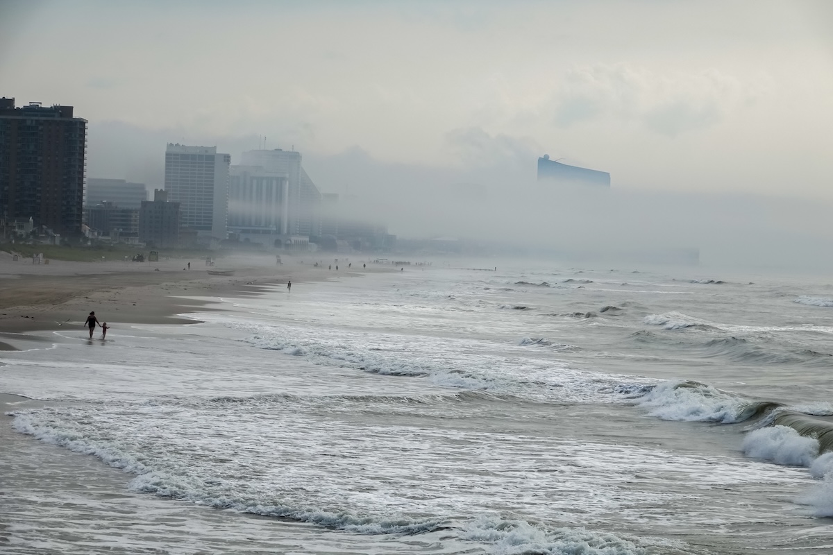
Superstorm Sandy arrived in 2012 and flooded Atlantic City’s casinos, boardwalk, and surrounding neighborhoods in a surge that exceeded anything the city had planned for. The damage ran into the billions, and the recovery was complicated by a casino industry already under serious financial pressure.
Atlantic City sits on Absecon Island, a barrier island with elevation measured in single feet across most of its buildable area. The ocean sits on one side, and the bay on the other, and both have been making their presence felt with increasing frequency since Sandy.
8. Annapolis, Maryland
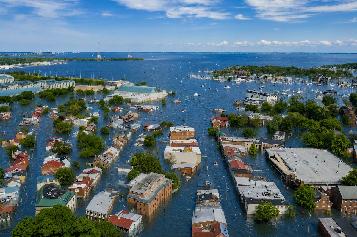
Maryland’s state capital now experiences what climate scientists call “sunny day flooding:” tidal flooding on clear days at high tide, no storm required. The historic district around the City Dock floods routinely now, a situation that has moved from occasional nuisance to persistent operational problem for the businesses on those streets.
Annapolis logs more flooding days per year than it did twenty years ago by a wide margin. The Naval Academy on the waterfront has its own flood management concerns, adding a national security dimension to what is otherwise a very local problem.
7. Boston, Massachusetts
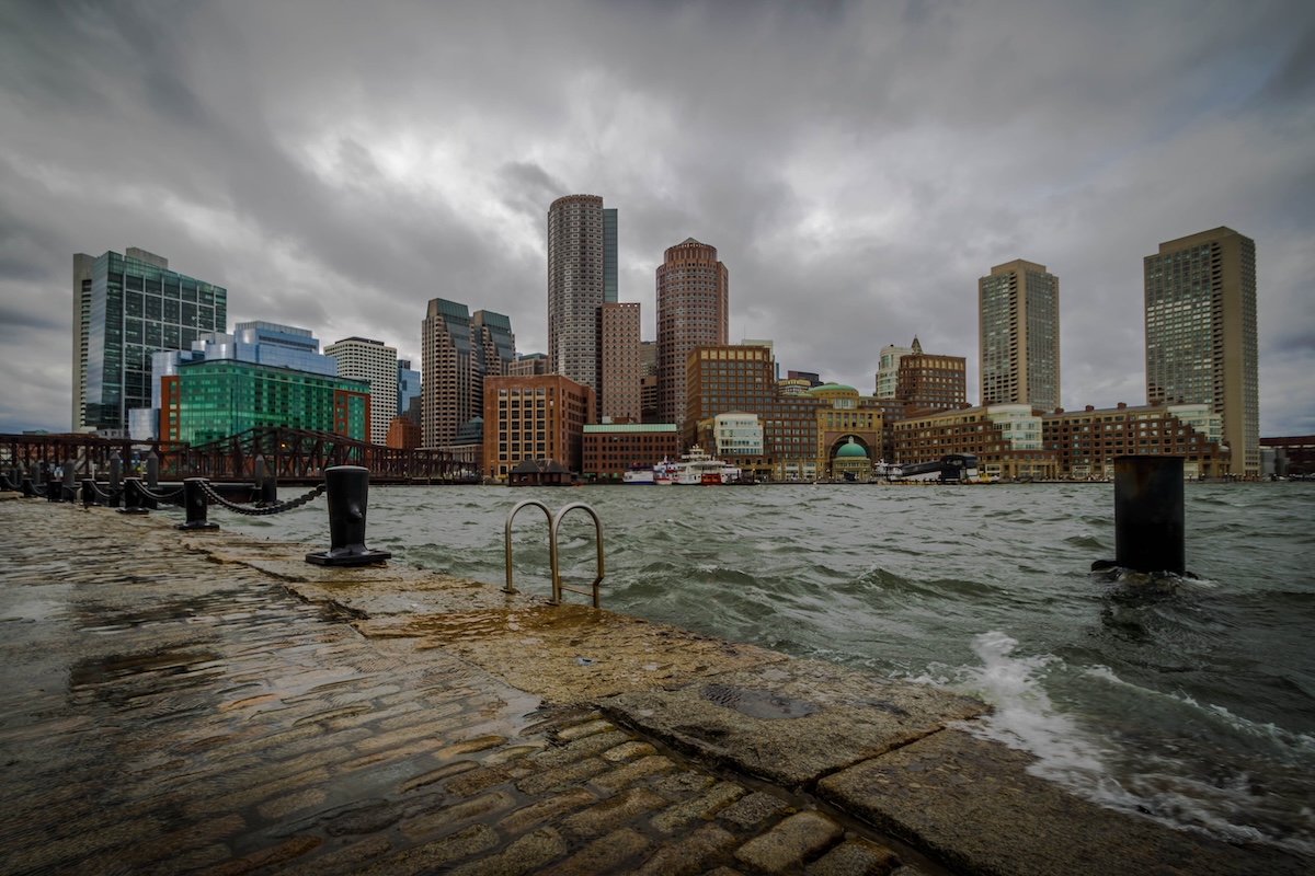
Over the centuries, Boston filled in enormous amounts of its original tidal flats, building entire neighborhoods on land that was open water in the colonial era. Back Bay, the Financial District, and much of the waterfront development sit on this filled ground, and the vulnerability that comes with it has been compounding.
The city is further along than most American coastal cities in understanding and planning for what it faces. Understanding a problem and having the political will to fund the solution are different conversations, and Boston is currently in the middle of both.
6. New York City, New York
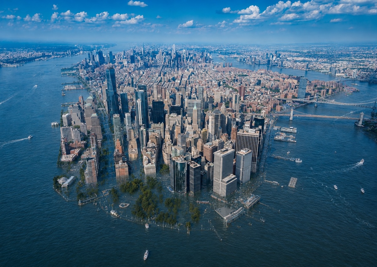
The numbers from Superstorm Sandy in 2012 still define this city’s climate conversation. The subway flooded, Lower Manhattan lost power for days, and the damage bill exceeded 43 billion dollars. The arguments about how to protect New York from the next event have been running ever since, producing studies and preliminary designs for a harbor-wide surge barrier that would rank among the largest civil engineering projects in American history.
New York has about 520 miles of coastline across five boroughs, each with different exposure and different communities facing the same rising problem at different scales. No other city on this list faces anything comparable in scope.
5. Charleston, South Carolina
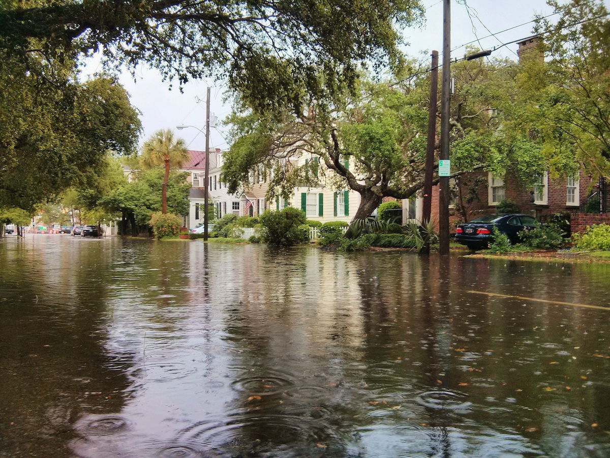
The Battery floods now on full moon high tides without a storm in sight, a situation routine enough that Charleston tracks nuisance flooding events annually. The numbers have climbed consistently for decades, and the historic district at the southern tip of the peninsula is at the center of the problem.
A seawall project is underway, and the city has committed substantial investment to resilience. The historic district’s preservation requirements complicate the engineering, creating a negotiation between protecting buildings from flooding and protecting their character from the infrastructure designed to do it.
4. Virginia Beach, Virginia
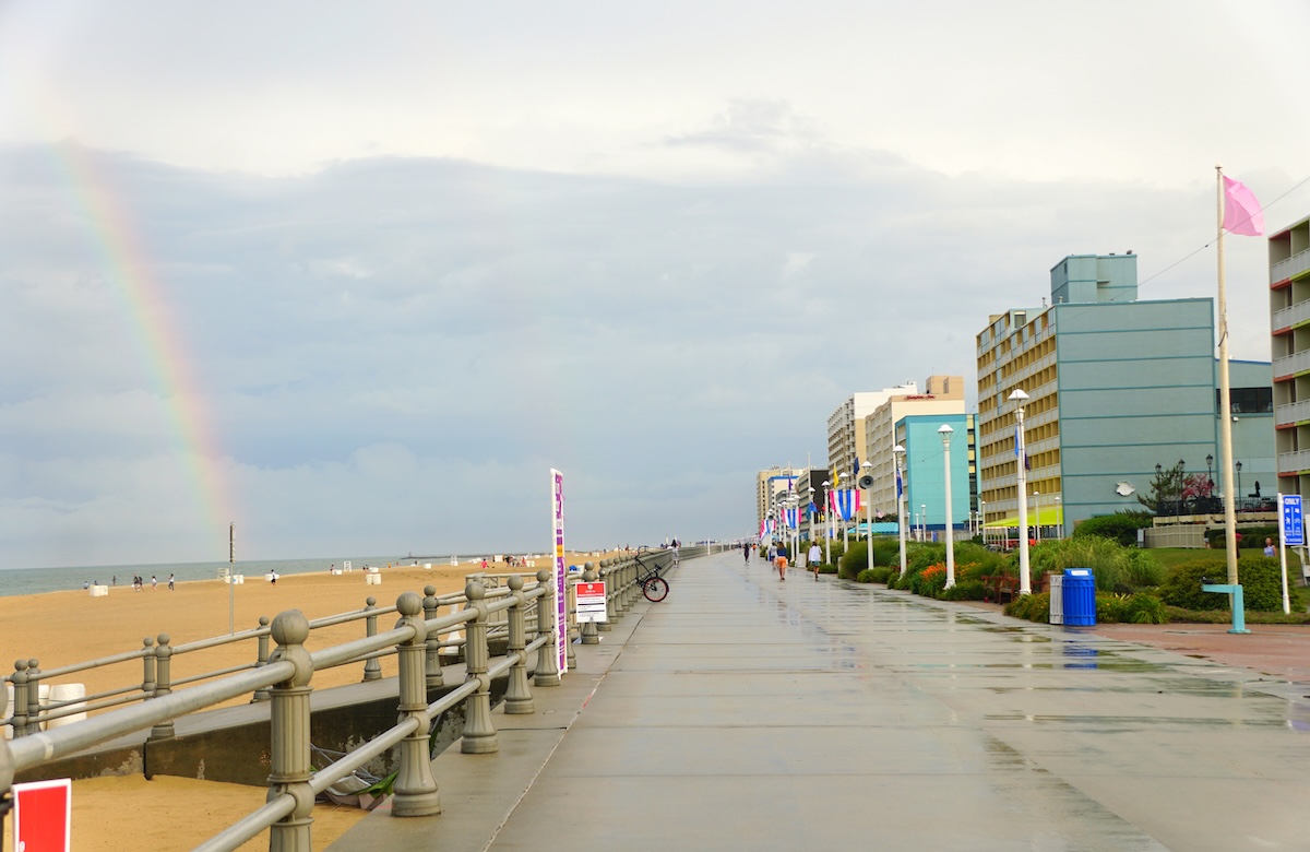
Virginia Beach is the most populous city on the list that doesn’t have New York’s resources to throw at the problem, so they face this problem at a scale most other entries here don’t. The oceanfront resort strip is the visible face of the city, but the back bay neighborhoods, the Elizabeth River corridors, and the development stretching far inland all sit at elevations that give rising seas a very large target.
The city is also subsiding, sinking at a rate that adds to the effective sea level rise beyond what the global average would predict. The scope of the long-term resilience plan is the clearest indicator of how seriously local officials are reading the situation.
3. Norfolk, Virginia
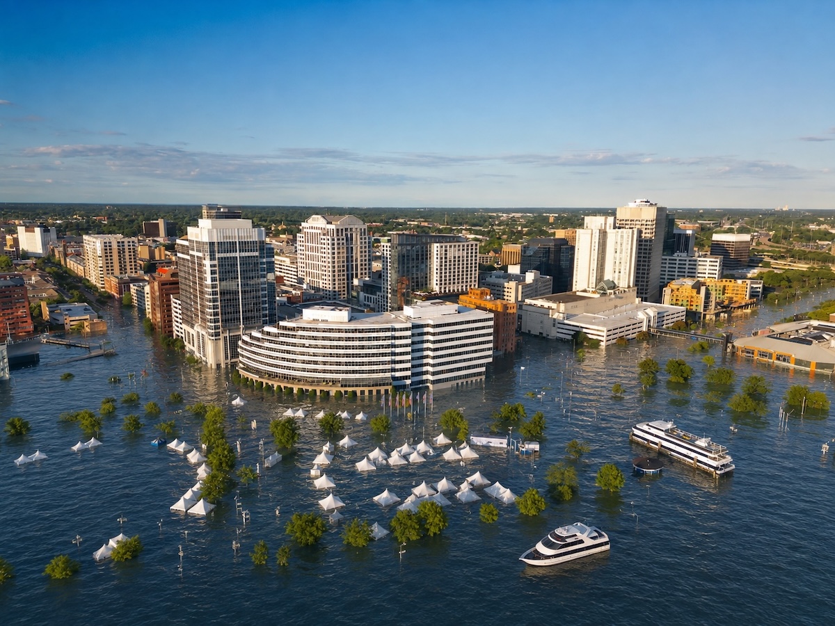
Naval Station Norfolk, the largest naval base in the world, floods regularly. That single fact gives the sea level rise conversation here a national security layer that Congress has been slower to act on than the Navy would prefer. The city’s combination of low elevation and land subsidence has made Norfolk one of the most studied flood-vulnerable cities in the country.
Some residents have adapted their lives around chronic flooding, moving cars to higher ground on high tide days and treating it as a permanent condition. The city is working on long-term solutions, but flooding is not respecting that timeline.
2. New Orleans, Louisiana
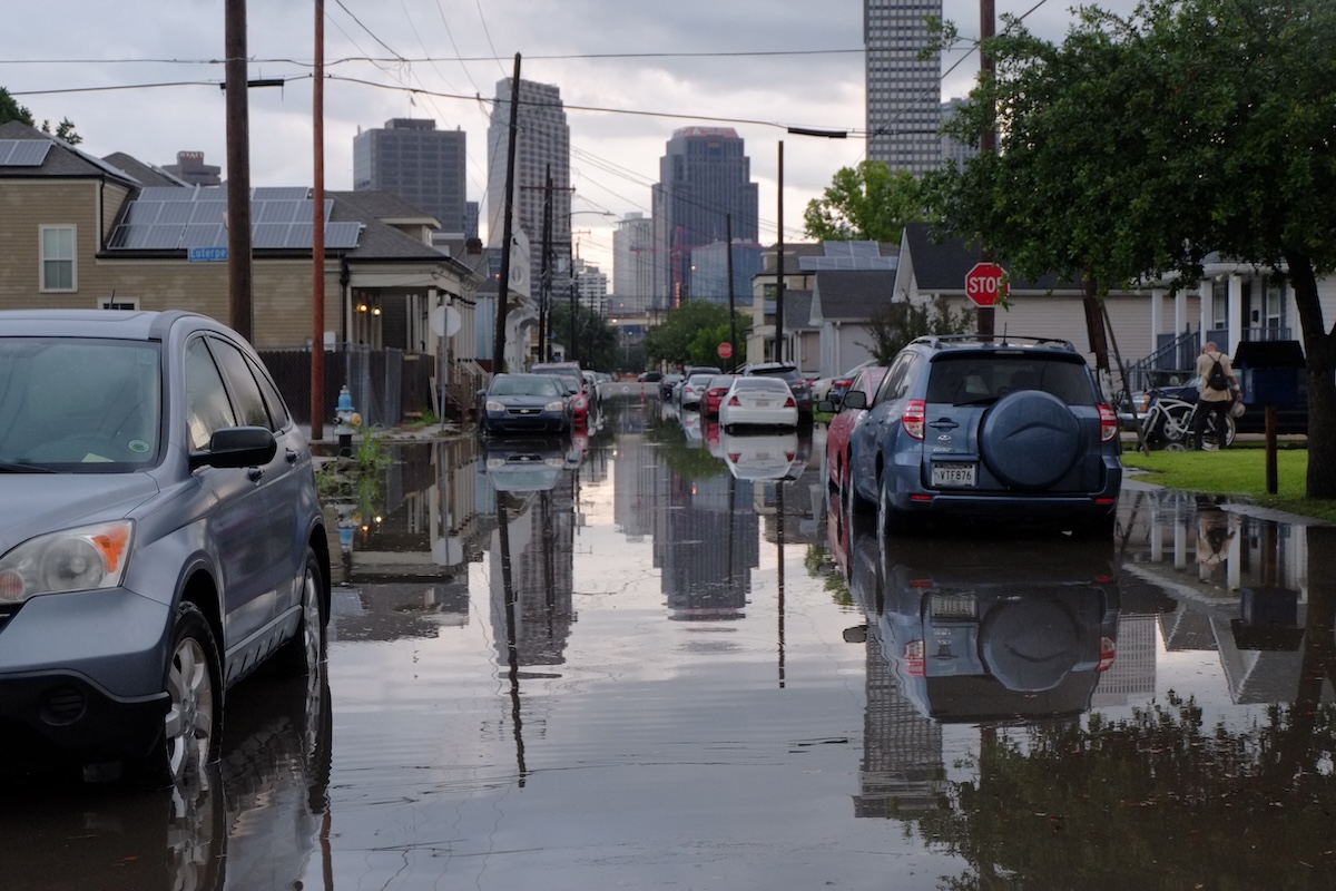
New Orleans sits in a bowl. Much of the city is below sea level, held by a system of levees and pumps that failed during Hurricane Katrina in 2005, killing over 1,800 people and flooding 80 percent of the city. The post-Katrina levee system is substantially improved, but the city is simultaneously sinking due to sediment compaction and groundwater withdrawal, making the bowl deeper as the sea outside it rises.
The Mississippi River Delta that historically built land here has been losing territory to the Gulf for decades, removing the natural buffer that once gave New Orleans some geographic distance from open water.
1. Miami, Florida
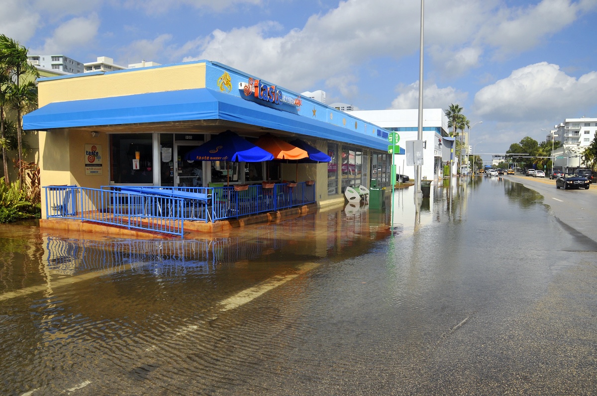
Miami sits at the top of this list and at the bottom of its own elevation map. Built on porous limestone, the city faces a problem that conventional flood walls and levees don’t solve: seawater migrates upward through the ground regardless of what sits on the surface. The ocean can come up through the street.
Brickell, South Beach, and the barrier islands to the east are already operating around a future of significantly higher water, raising roads and redesigning infrastructure with urgency. Miami is not debating whether this is happening. The city is in the middle of an expensive, incomplete attempt to adapt to something already well underway.