
You’ve probably done it yourself: saved a photo of a glowing canyon or turquoise beach, planned a trip around it, then stood in the exact spot wondering where the magic went. Nobody lied to you, exactly. Photographers wait for perfect light, use wide-angle lenses and crop out parking lots. And the internet rewards the most dramatic version of every place.
Plenty of famous American landmarks look better in photos than in real life, from desert parks to city streets to glaciers. That doesn’t make them bad trips. Many are still worth your time, as long as you know what a camera adds and what the real view offers instead.
Joshua Tree, California
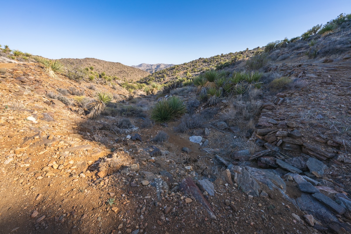
Joshua Tree’s most famous photos show one perfectly shaped tree against towering boulders and a fiery sky. That single frame does a lot of heavy lifting. The park covers nearly 800,000 acres where the Mojave and Colorado deserts meet, and much of it is flat, scrubby and visually quiet.
The striking rock piles cluster around spots like Hidden Valley and Jumbo Rocks, while the eastern half feels sparse and brown under midday sun. Plan your visit around sunrise or sunset, when the light turns the granite gold. Stop at the Cholla Cactus Garden too. It delivers the surreal look the postcards promise.
Waikiki Beach, Hawaii
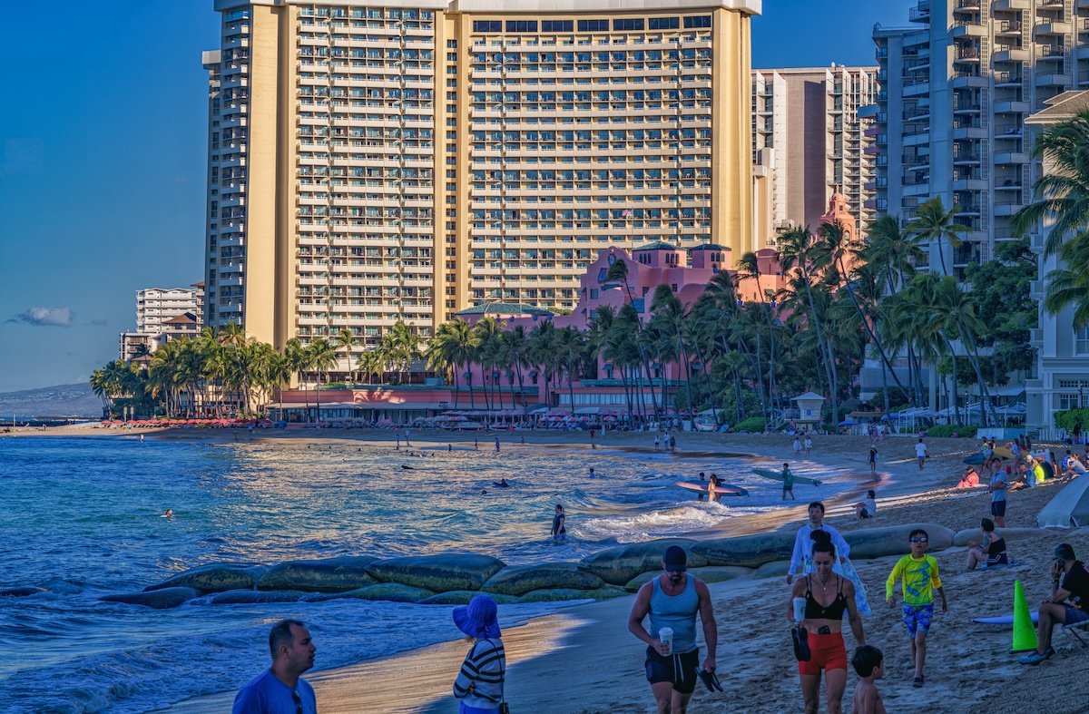
Waikiki looks like a tropical escape in photos, but you’re in the middle of a busy Honolulu neighborhood. Turn around from that famous Diamond Head view and you’ll see a wall of high-rise hotels and crowds packed shoulder to shoulder on a narrow strip of sand.
People have trucked in much of that sand over the decades to fight erosion, and Kalakaua Avenue hums with traffic and shoppers right behind the beach. Waikiki is still fun for surf lessons, people-watching and easy access to restaurants. For a quieter postcard view, drive to Lanikai or Waimanalo on the windward side.
Bonneville Salt Flats, Utah
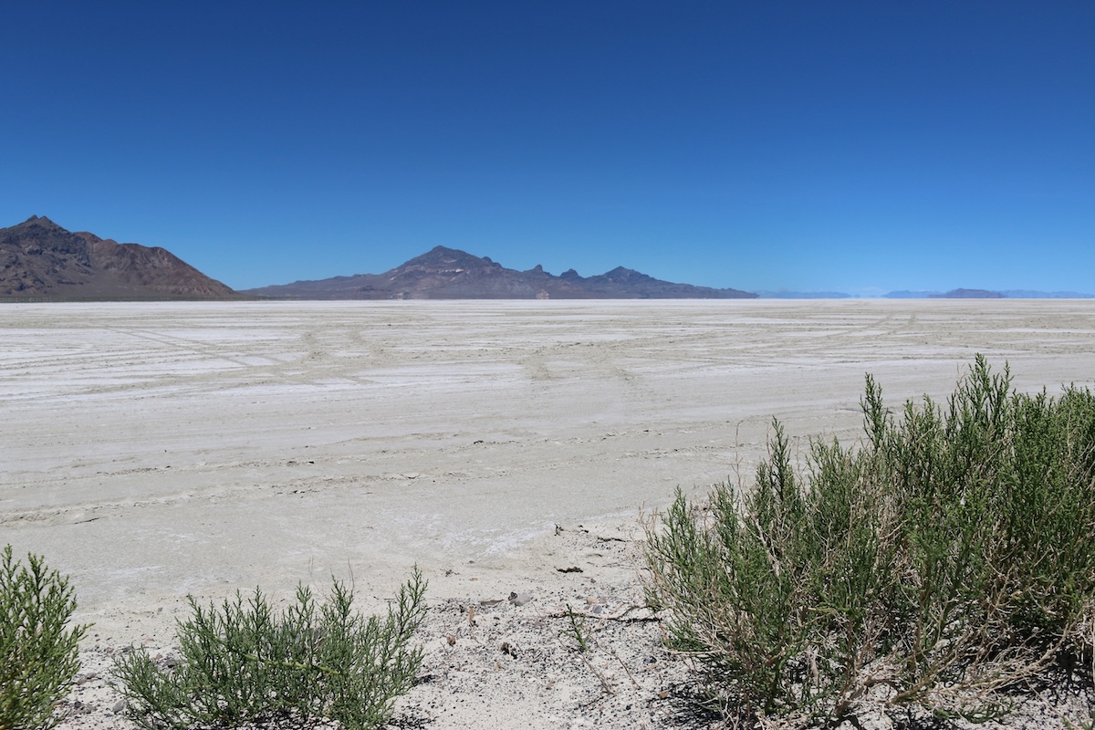
That mirror-like reflection you’ve seen online appears only when a thin sheet of water covers the salt, mostly in winter and early spring. Show up in summer and you’ll find a dry, crusty plain that looks more off-white and gray than dazzling.
The flats stretch across roughly 30,000 acres west of Salt Lake City along I-80, and the easiest access is near the rest area outside Wendover. The dry season has its own appeal: it brings land speed racing events like Speed Week each August. Check recent conditions before you go, and pack sunglasses either way. The glare is intense.
Lombard Street, San Francisco
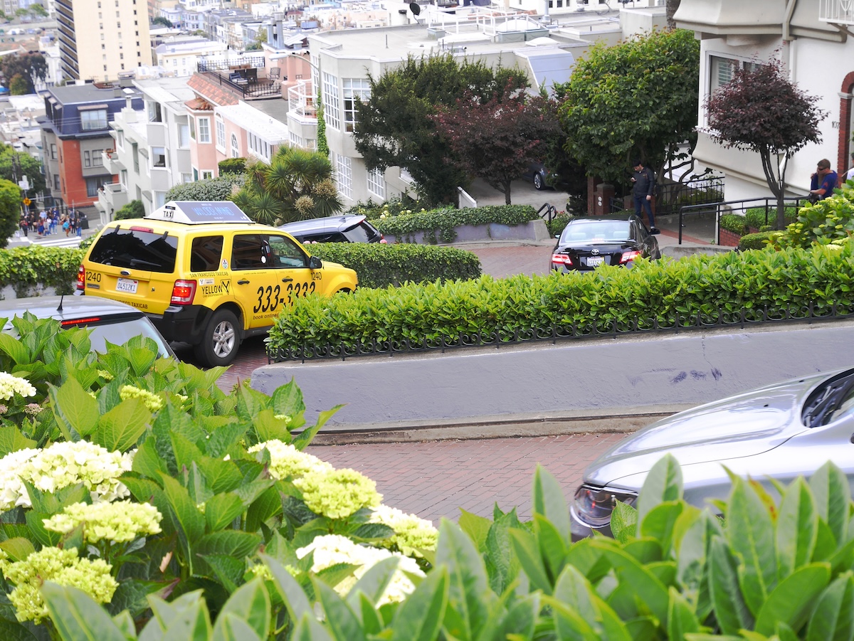
Lombard’s famous shot shows all eight hairpin turns stacked like a ribbon, viewed from above. You won’t get that view standing on the street. The crooked section runs just one block between Hyde and Leavenworth, and up close it looks like a steep, pretty lane lined with hydrangeas.
The curves went in in 1922 to tame a 27 percent grade, and cars still crawl down them nonstop. For the best view, stand at the bottom on Leavenworth Street and look up, ideally early in the morning before tour buses arrive. Ride the Powell-Hyde cable car to the top for a fun bonus.
Cadillac Ranch, Texas
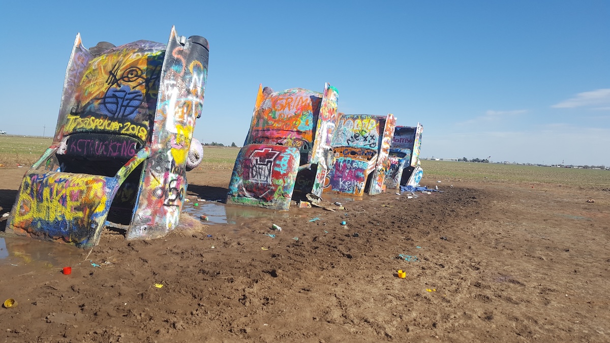
Cadillac Ranch is ten old Cadillacs buried nose-down in a cow pasture off I-40 near Amarillo, and that’s the whole show. Photos framed low against a big sky make it feel like a vast desert monument, but the real thing takes about 15 minutes to see.
The art collective Ant Farm created it in 1974, and visitors have been spray-painting the cars ever since. Layers of paint coat everything, along with discarded cans. Bring your own paint and join in, since tagging is encouraged. Wear old shoes because the path turns muddy after rain, and expect company at sunset.
Bryce Canyon, Utah
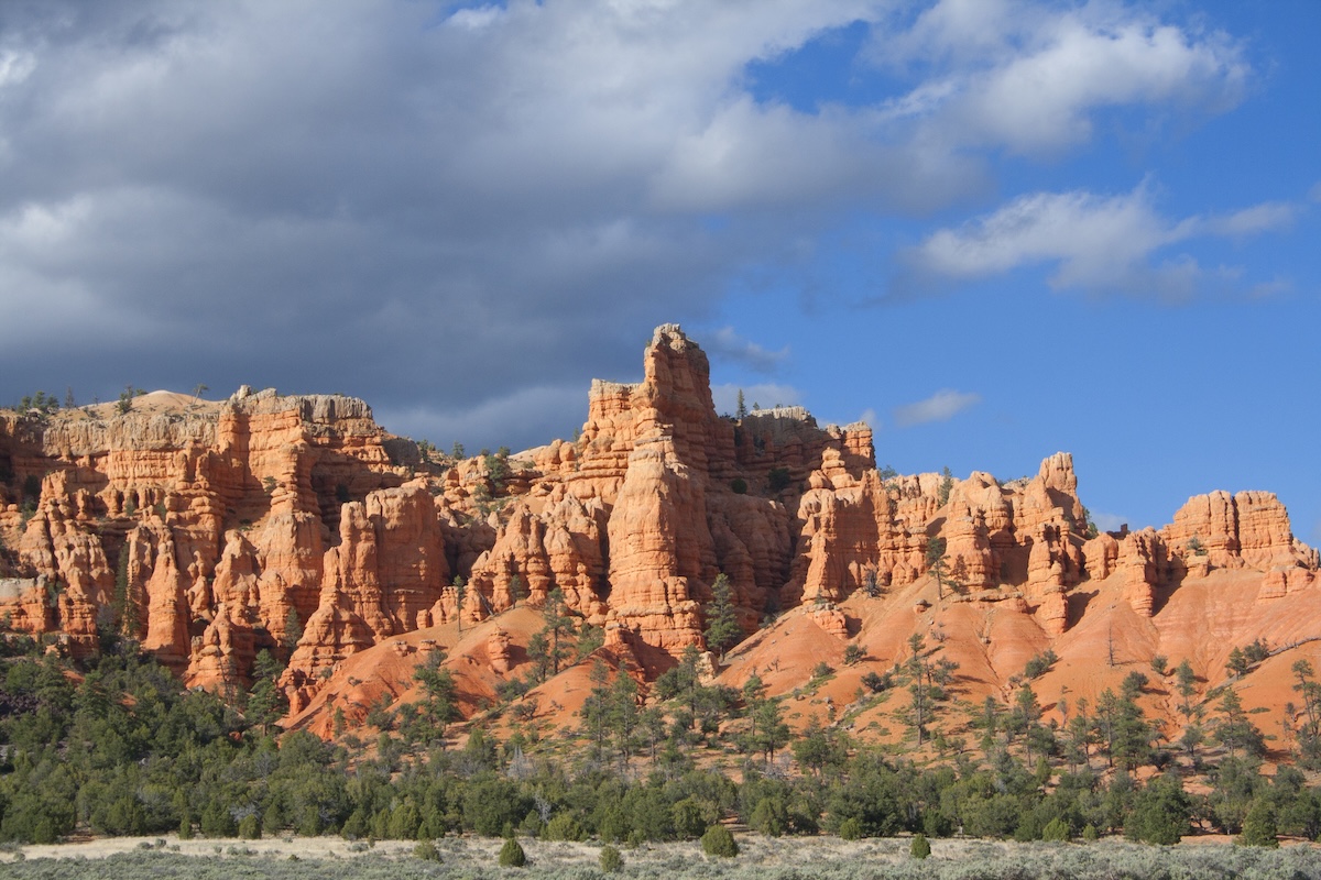
Bryce’s hoodoos are beautiful in person, though they feel smaller and more contained than the endless red forest in photos. Telephoto lenses compress the spires into a dense wall, and golden-hour light makes the orange glow almost neon.
The main amphitheater is compact, and you can see much of it from Sunrise, Sunset and Inspiration Points along the rim. Hike down the Navajo Loop or Queen’s Garden Trail to get a sense of scale. Walking among the hoodoos feels more impressive than viewing them from above. The rim sits around 8,000 to 9,000 feet, so bring layers even in summer.
Horseshoe Bend, Arizona
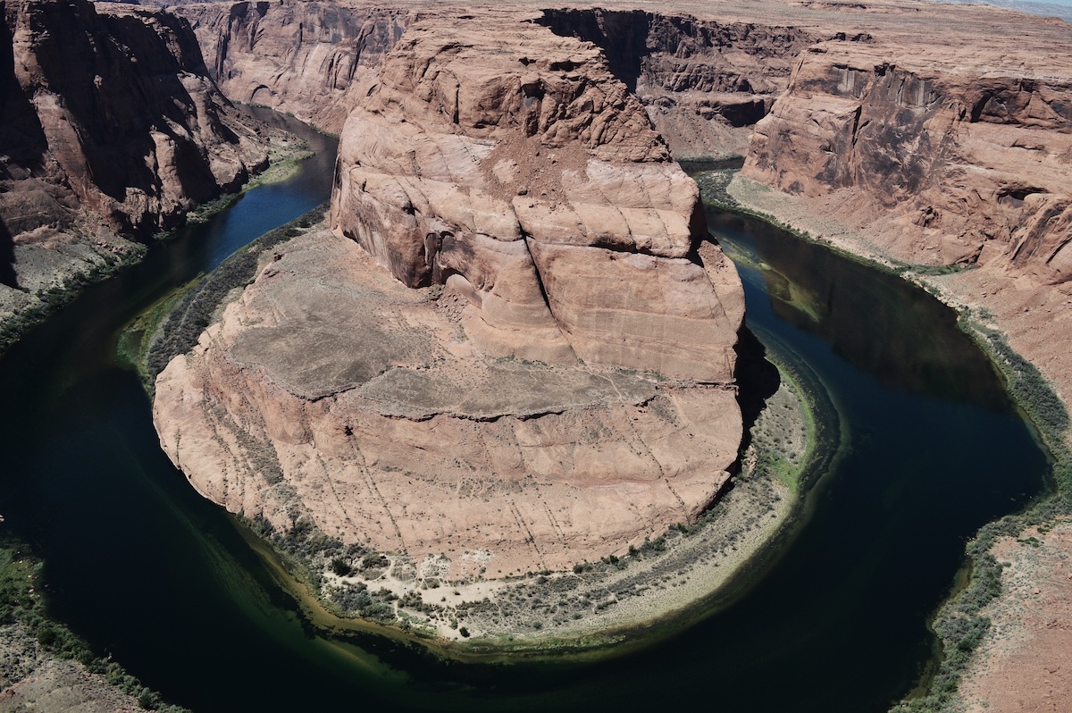
Your phone photo of Horseshoe Bend will probably look flatter than the famous ones. Capturing the full loop takes an ultra-wide lens and a good spot at the edge. Standard shots crop the curve, and harsh midday sun washes out the river’s green.
The overlook sits about 1,000 feet above the Colorado River near Page, a short walk from a paid parking lot. Crowds pack the main viewing platform, so move along the rim for a cleaner angle. Use your phone’s 0.5x lens, and visit in late afternoon when shadows add depth. Respect the drop; there’s no railing past the platform.
Morro Rock, California
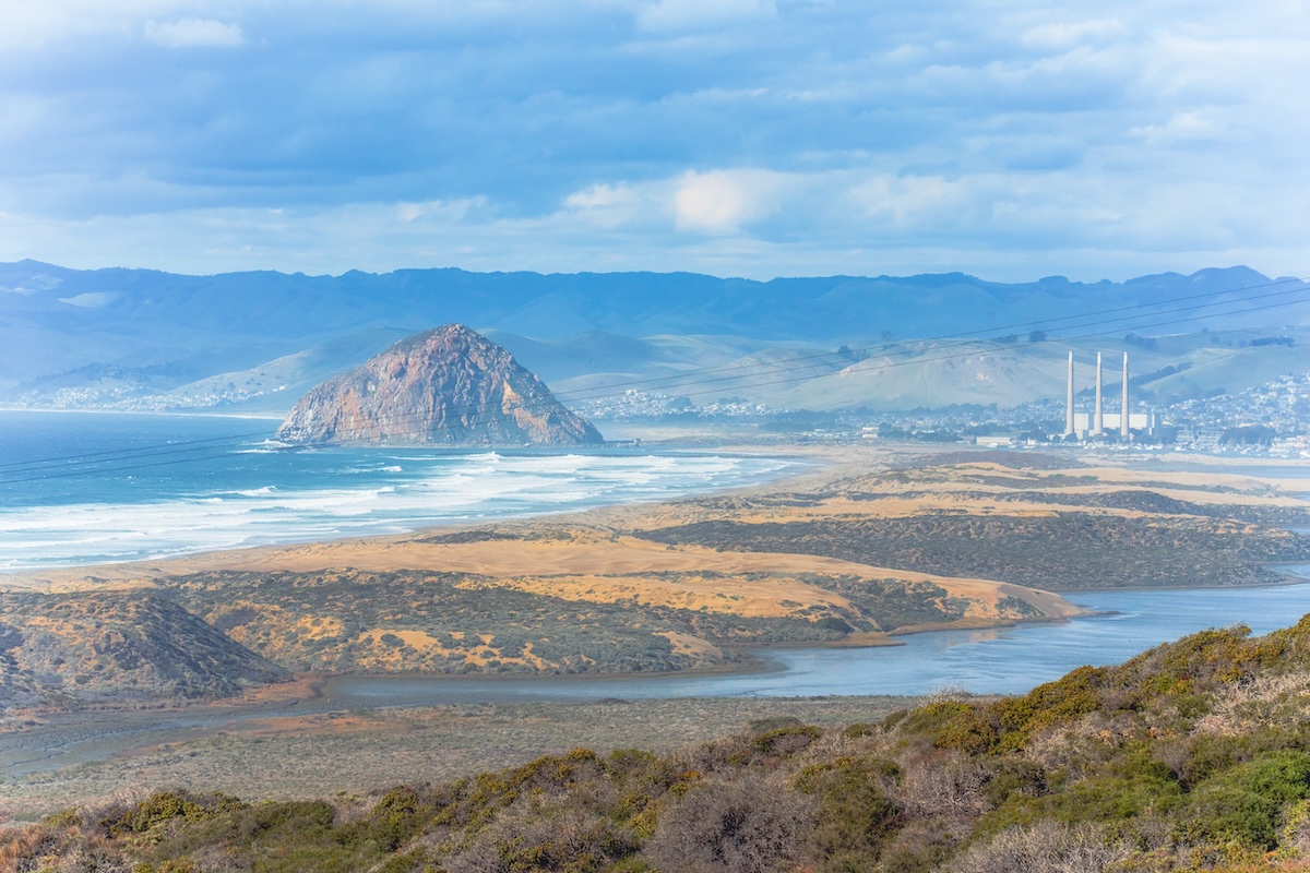
Morro Rock rises 576 feet from the water, but careful framing creates the dramatic, isolated-monolith look. In person, a causeway connects it to the mainland. You’ll also see a parking lot, a working harbor and the town of Morro Bay right alongside it.
For decades, three tall smokestacks from a retired power plant shared the skyline and cluttered casual photos. The rock itself is a volcanic plug and a protected nesting site for peregrine falcons, so climbing is off-limits. Head to Morro Strand State Beach to the north for a cleaner view, or kayak the bay at sunrise.
Pictured Rocks, Michigan
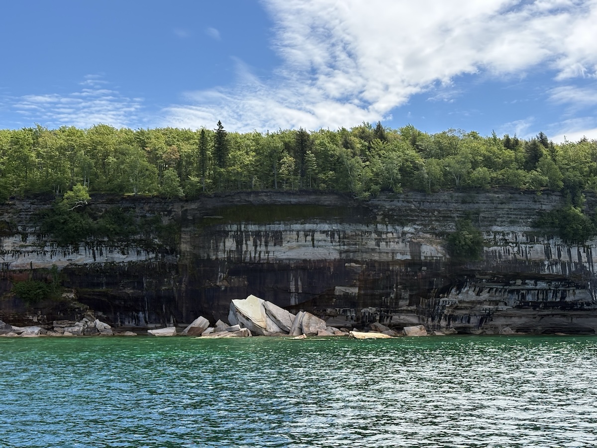
Pictured Rocks looks most dazzling from a boat on a calm, sunny day, which is how photographers take nearly every famous photo. From the shoreline trails or on gray afternoons, the mineral-streaked cliffs along Lake Superior look softer and more muted.
Iron, copper and manganese stain the sandstone, and the colors pop brightest in direct sun. Book a cruise or guided kayak tour from Munising for the best angles on spots like Miners Castle and Chapel Rock. Superior’s water stays cold and changes fast, so check the forecast and go early, when winds are calmest.
Hollywood Sign, Los Angeles
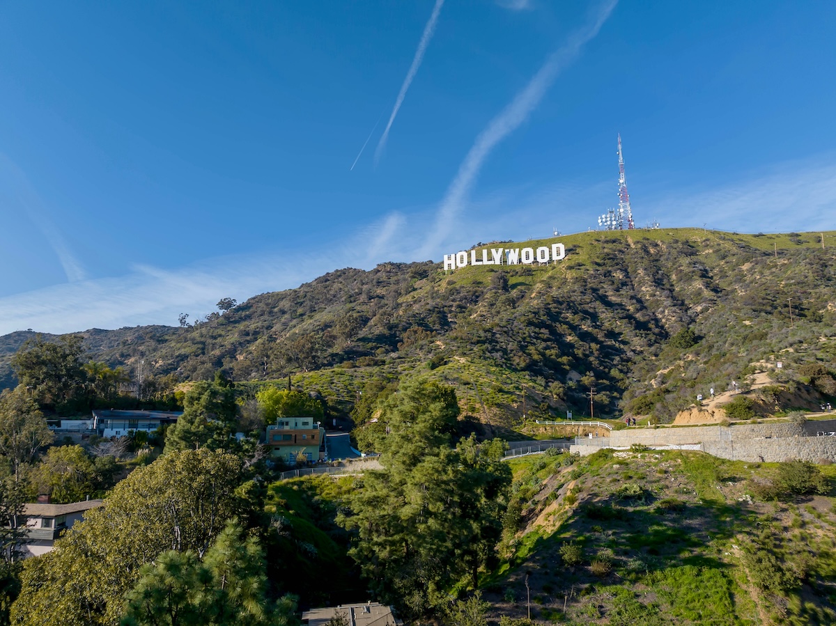
Seen in person, the Hollywood Sign is a small white line on a distant hillside. Its 45-foot letters sit on Mount Lee, and since you can’t get close, your photos mostly capture a far-off speck with smog and power lines in the way.
Long lenses and helicopter shots create the impressive images. For a decent view, try the Griffith Observatory terrace, Lake Hollywood Park, or the top of the Hollywood and Highland complex. Hike the Brush Canyon Trail if you want to get behind the sign, though it’s a steep few miles. Avoid driving on nearby residential streets, where parking restrictions are strict.
Antelope Canyon, Arizona
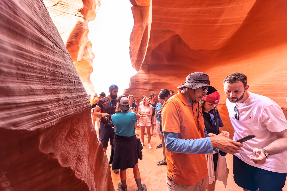
Those glowing orange walls and light beams require precise timing, and most tour slots won’t line up with them. The famous shafts of light appear in Upper Antelope Canyon around midday between spring and early fall. Photographers use long exposures to boost the color.
You need a guided tour with a Navajo-authorized operator, and groups move quickly through narrow passages. Standard tours restrict tripods. You’ll still see stunning curves, though the colors look more muted to the eye than on camera. Book months ahead for a late-morning summer slot, or choose Lower Antelope Canyon for fewer crowds and more ladder-climbing fun.
Painted Hills, Oregon
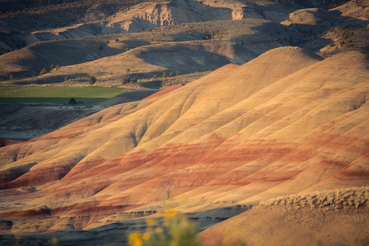
The Painted Hills look most vivid after rain and in late-afternoon light, when moisture deepens the red, gold and black bands. On a bright, dry afternoon, the stripes appear chalkier and more pastel, which surprises plenty of visitors.
The hills belong to John Day Fossil Beds National Monument, about two hours east of Bend. Their layers formed from volcanic ash over millions of years. Stick to boardwalks and marked trails, since footprints scar the clay for years. Walk the Painted Cove Trail for close-up color, and use the Overlook Trail near sunset for the classic wide view.
Venetian Canals, Las Vegas
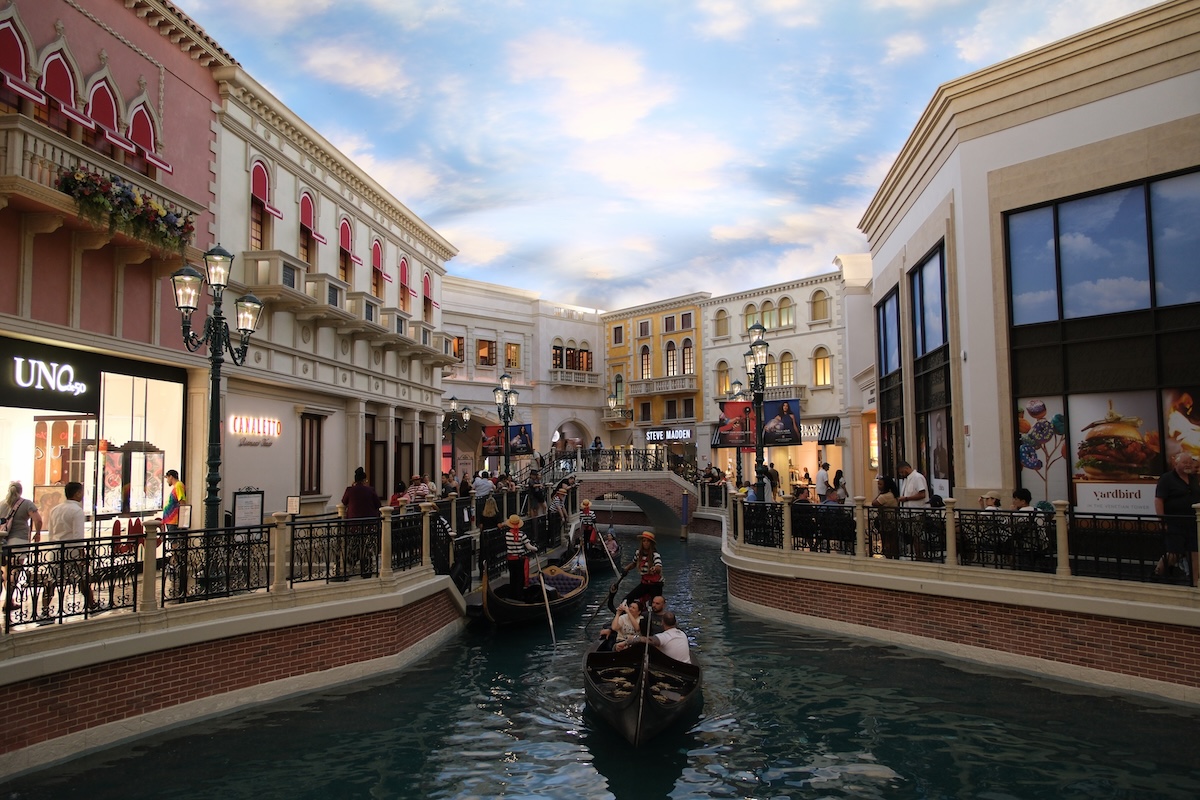
Inside the Venetian, the canals photograph like a slice of Italy, but standing there, you feel the shopping mall around you. The painted sky ceiling, constant lighting and chain-store signs make the illusion hard to hold for long.
The indoor Grand Canal winds through the Grand Canal Shoppes, where singing gondoliers steer boats past storefronts and restaurants. Rides run about 12 minutes and cost around $40 per person, so treat one as a novelty. For a more convincing look, try the outdoor canal along the Strip at dusk, when the real sky and replica Rialto Bridge sell the scene better.
Galveston Beach, Texas
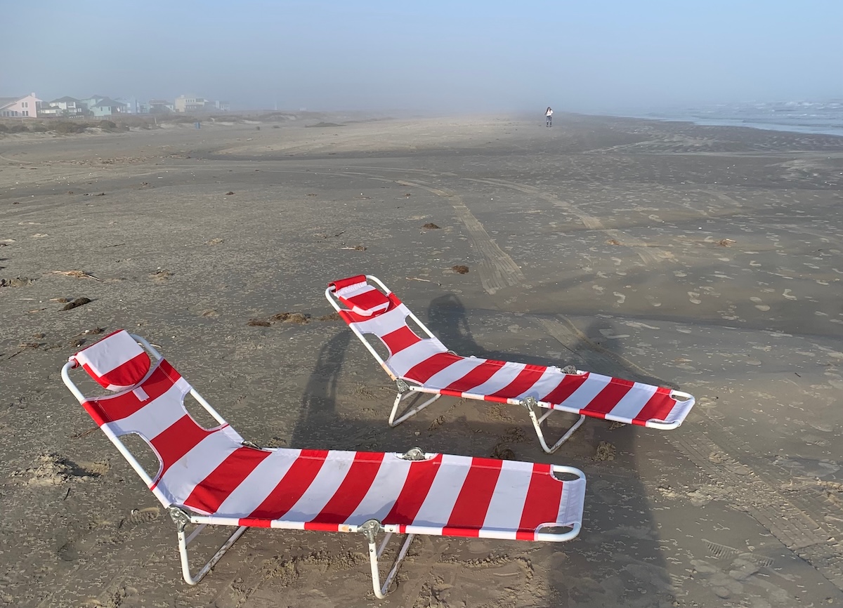
Expect brownish, murky water at Galveston, despite those bright blue photos online. Sediment from the Mississippi, Brazos and other rivers flows into the Gulf here, keeping the surf cloudy most days. Edited images or rare calm conditions create the tropical look.
The water is generally safe for swimming, and silt causes most of the brown color. Summer also brings seaweed called sargassum ashore. Galveston still offers a lively Seawall Boulevard, the Pleasure Pier and historic Strand district. For clearer water, check the Texas Beach Watch site, or drive farther south to Port Aransas and South Padre Island.
Wynwood Walls, Miami
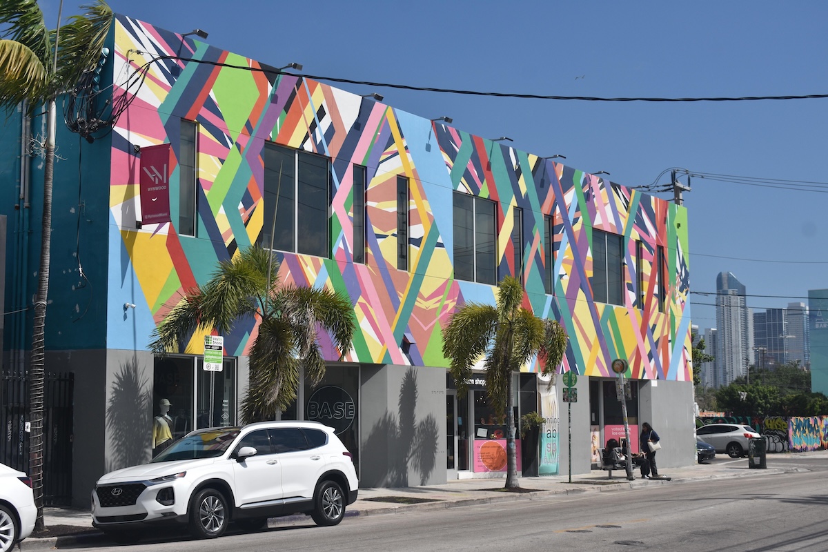
Wynwood Walls covers a fairly compact space, and close-cropped mural photos make it seem much bigger. The main attraction is a ticketed outdoor courtyard of large-scale works. Developer Tony Goldman opened it in 2009, and you can walk through in under an hour.
The surrounding Wynwood neighborhood has plenty more street art, mixed with warehouses, bars, construction and traffic. It feels less like a polished gallery than the photos suggest. Go early on a weekday to dodge crowds and the afternoon heat. Wander nearby blocks like NW 2nd Avenue afterward, and grab food at Wynwood Marketplace.
Lake McDonald, Montana
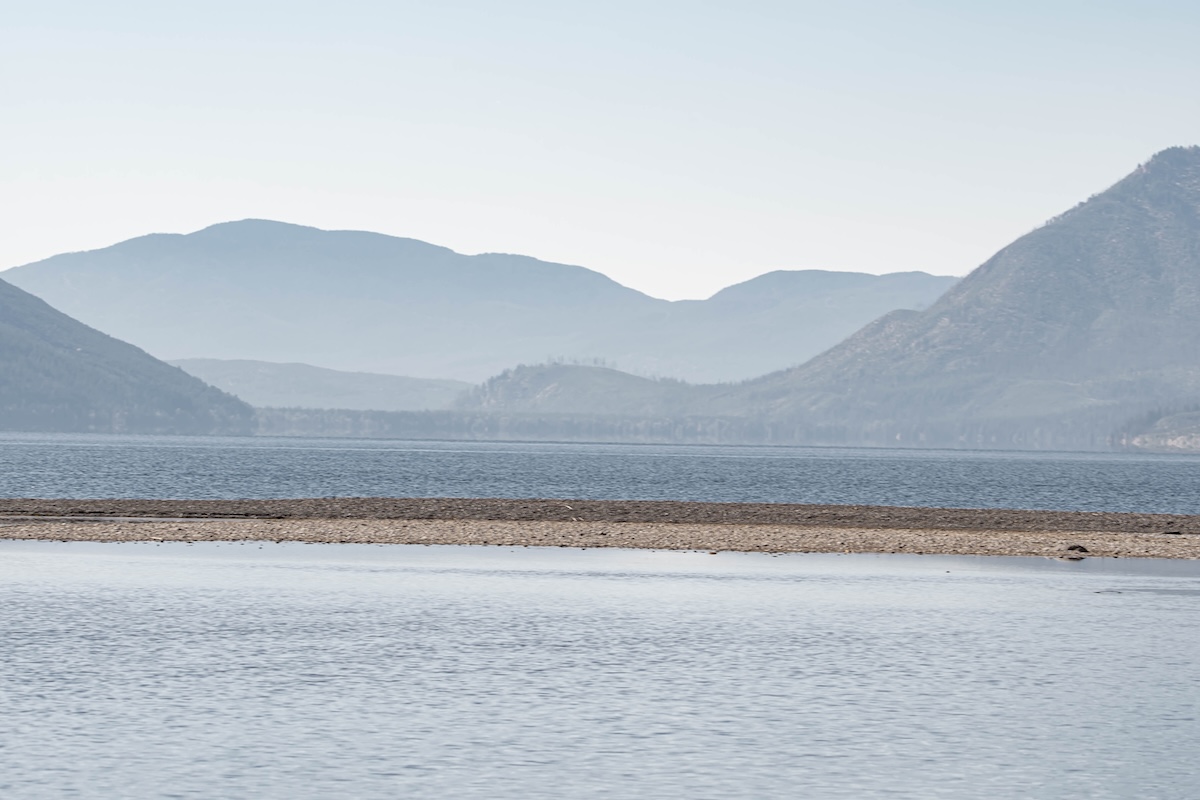
The rainbow pebbles beneath crystal-clear water show up best on calm, overcast days or in soft morning light. Wind ripples the surface, and bright sun creates glare, so the colorful rocks and mirrored mountains disappear from many casual photos.
The lake stretches about 10 miles along Going-to-the-Sun Road in Glacier National Park. Iron and other minerals give its red, green and blue stones their color. Head to Apgar Village at the south end for easy shoreline access. Arrive at sunrise for glassy water, and check the park’s vehicle reservation rules before summer trips.
Mendenhall Glacier, Alaska
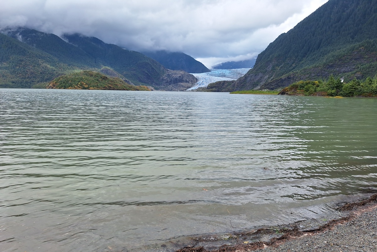
Mendenhall has shrunk dramatically. Today, it looks very different from older photos, which show ice filling the valley. The glacier has retreated roughly 2.5 miles since the late 1700s, and its face now sits farther back across a widening lake.
It’s still a beautiful stop, just 12 miles from downtown Juneau. Take an easy walk to Nugget Falls, then visit the center to learn about the glacier’s retreat. Bring binoculars to spot the blue ice and, in summer, maybe a black bear along Steep Creek. You can book a guided kayak or helicopter tour to get close to the ice before it recedes further.