Touropia Travel
Discover the World
Destinations
Videos
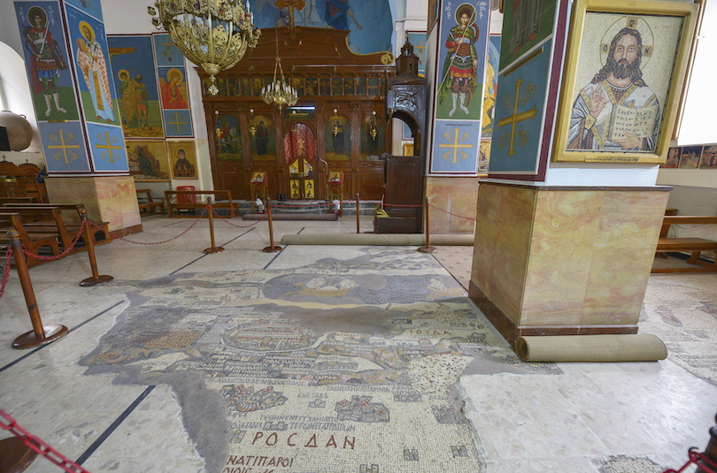
Madaba